


9,1 km | 17,8 km-effort

Benutzer


Kostenlosegpshiking-Anwendung
 SityTrail
IGN / Geografische Institute
SityTrail World
Die Welt öffnet sich für Sie
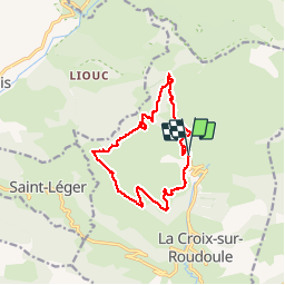
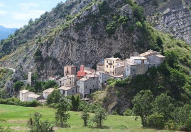
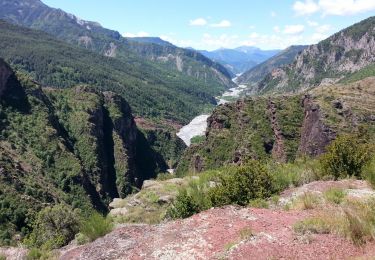
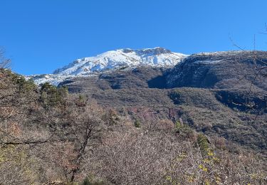
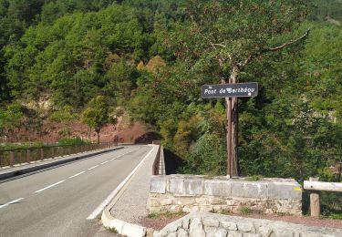
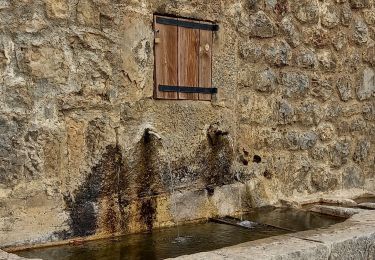
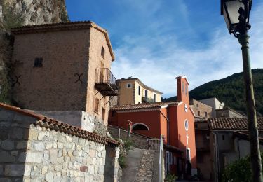
Tour Wandern von 14,1 km verfügbar auf Provence-Alpes-Côte d'Azur, Seealpen, La Croix-sur-Roudoule. Diese Tour wird von manouete vorgeschlagen.
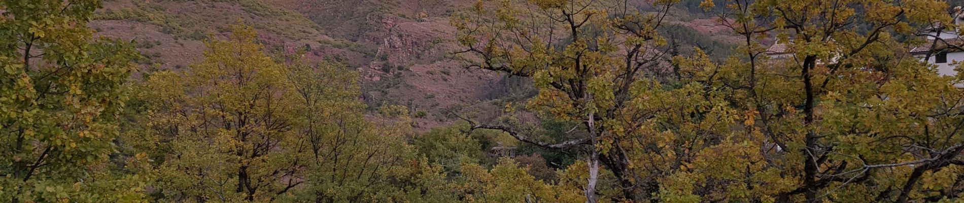
balisage manquant par certains endroits , avoir un gps sinon possibilité de se tromper facilement ,


Zu Fuß
Wandern

Wandern
Schneeschuhwandern
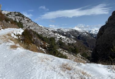
Schneeschuhwandern
Wandern
Wandern
Wandern

Wandern